Tilling Bourne and Albury
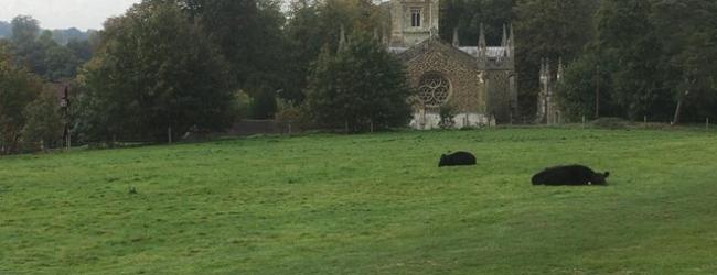
This was a really great walk which left 15 members with a real feeling of achievement... Much was like a magical mystery tour as we drove along a secret road to find the rendezvous point but it was well worth it. Gorgeous autumn colours, peaceful ducks and cows , no one challenged. Social distancing at lunch time well managed and all home in time for tea
A3 from London, A3100 exit, best to follow Google maps after that. Google St Martha’s Hill, Guildford Lane Car Park Map ref: TQ 035 48
We start with quite a steep descent through Colyers Hanger to Tilling Bourne river, following a variety of paths through farmland and woodland to reach Albury Park. After lunch, we cross the Tilling Bourne again and head westward, with a brief stint on The Pilgrim’s Way. More woodland with open vistas to the north.
Picnic at Albury Sports Ground. Plenty of socially distanced benches
Some interesting industrial archaeology along the route. Tilling Bourne river used to provide power for gunpowder, paper and corn mills. We can make a short detour (10-15 minutes) to look at the remains of the gunpowder mills. We pass mill pond, watercress beds and converted mill and cottages.
Steep descent first thing, otherwise, easy walking with some gradual inclines. One main road and one railway to cross.